- 1 hour ago
- 189 Comments
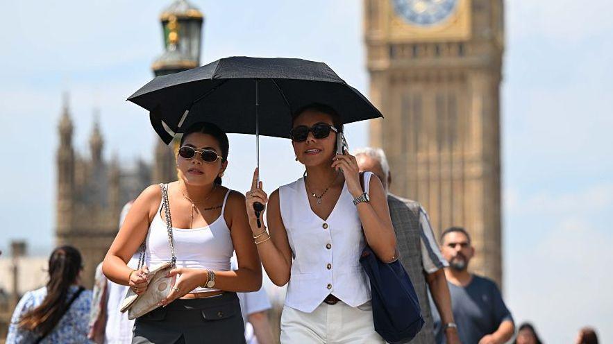
Yellow heat health alerts have been issued for parts of England with temperatures set to climb above 30C (86F) next week.
The alerts, issued by the UK Health Security Agency, cover all regions apart from the north-east and north-west and are valid from 12:00 BST on Monday until 18:00 BST on Wednesday.
Warm air will be drawn up from the south thanks to the interaction between high pressure drifting across the south of the UK and an area of low pressure – containing remnants of Tropical Storm Dexter – in the Atlantic.
England and Wales will have the best of the sunshine, although a few scattered thunderstorms are likely. Northern Ireland and Scotland can expect outbreaks of rain at times.
It marks a big change in weather fortunes after Storm Floris battered parts of the UK earlier this week.
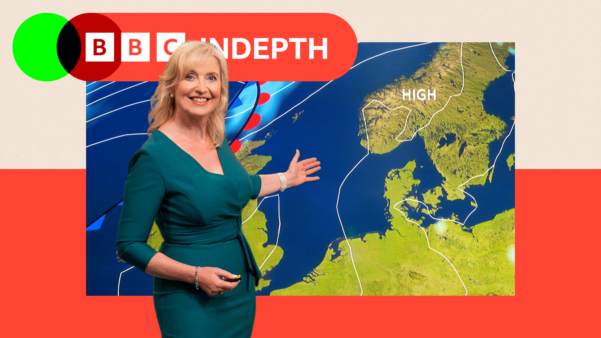
Heat builds from Sunday
The weekend is going to start on a mixed note.
A weather front will bring outbreaks of rain and strong winds southwards across Scotland and Northern Ireland on Saturday.
This will weaken as it moves across northern England and north Wales and other areas will see spells of warm sunshine and a few scattered showers.
Maximum temperatures will range from 16C (61F) in northern Scotland to 26C (79F) in parts of south-east England, around or just above the August average.
On Sunday, high pressure will build from the south so most parts of the UK can expect sunshine. Temperatures will reach 26-28C (79-82F) in central and south-eastern parts of England.
An area of low pressure, containing the remnants of Tropical Storm Dexter, will approach from the west bringing rain to western Scotland and Northern Ireland later in the day.
This that will start to draw even warmer air northwards for the start of the new week.
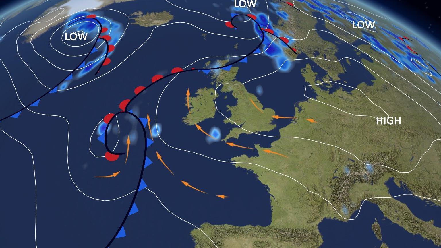
This complex weather setup will feed warm air across the UK on Monday and Tuesday
How warm will it get?
Temperatures across large parts of England and Wales are likely to climb to 27-31C (81-88F) on Monday and Tuesday, with the chance of 32-33C (90-92F) in a few places.
However the complexity of this weather setup makes it difficult to pinpoint a precise maximum temperature.
It will depend on cloud amounts, and also the progress of a cluster of thunderstorms that is expected to drift up from the south.
You can always keep up to date with the very latest forecast for where you are on the BBC Weather app.
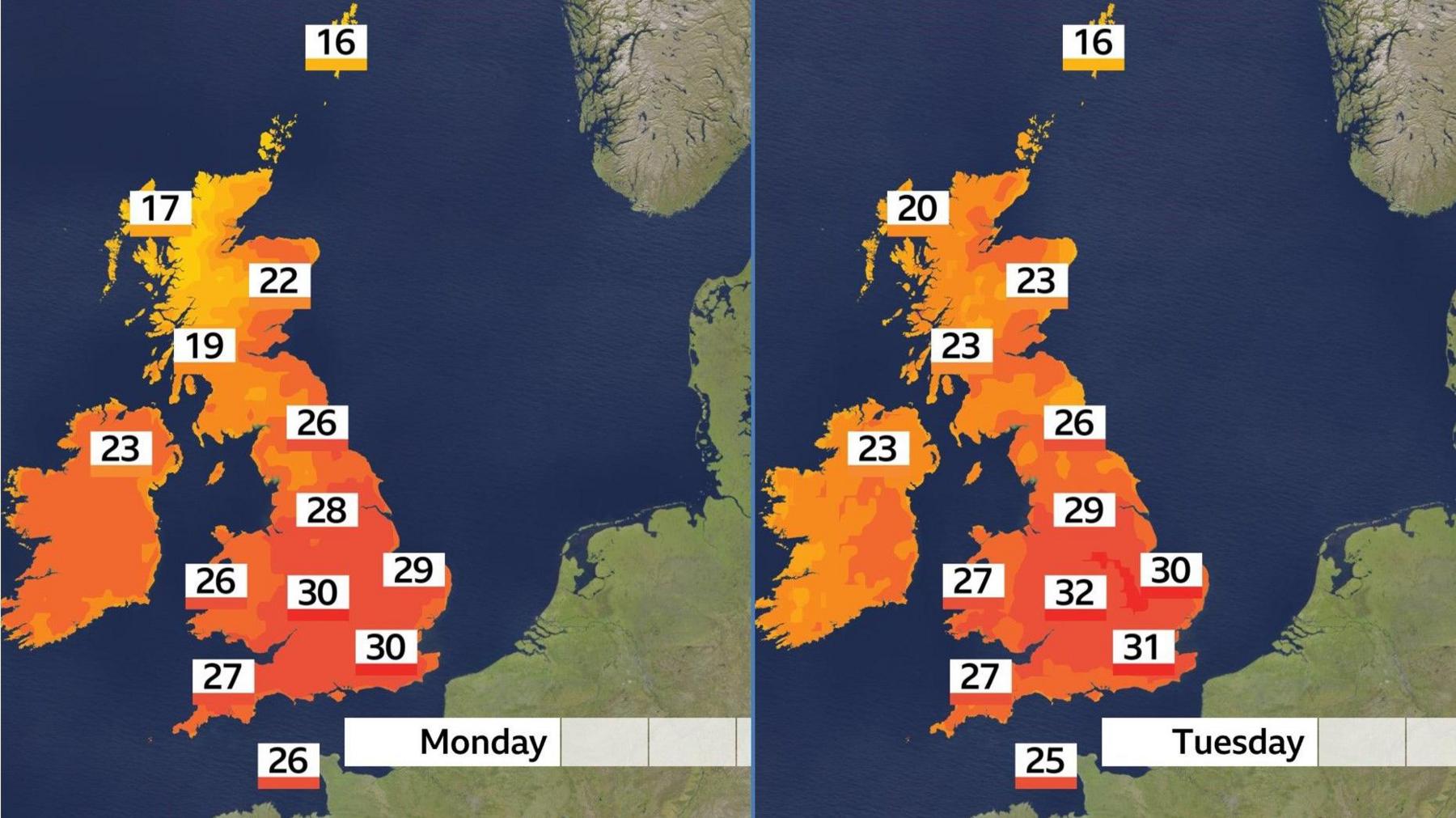
Maximum temperatures will depend on cloud amounts – and possible thunderstorms
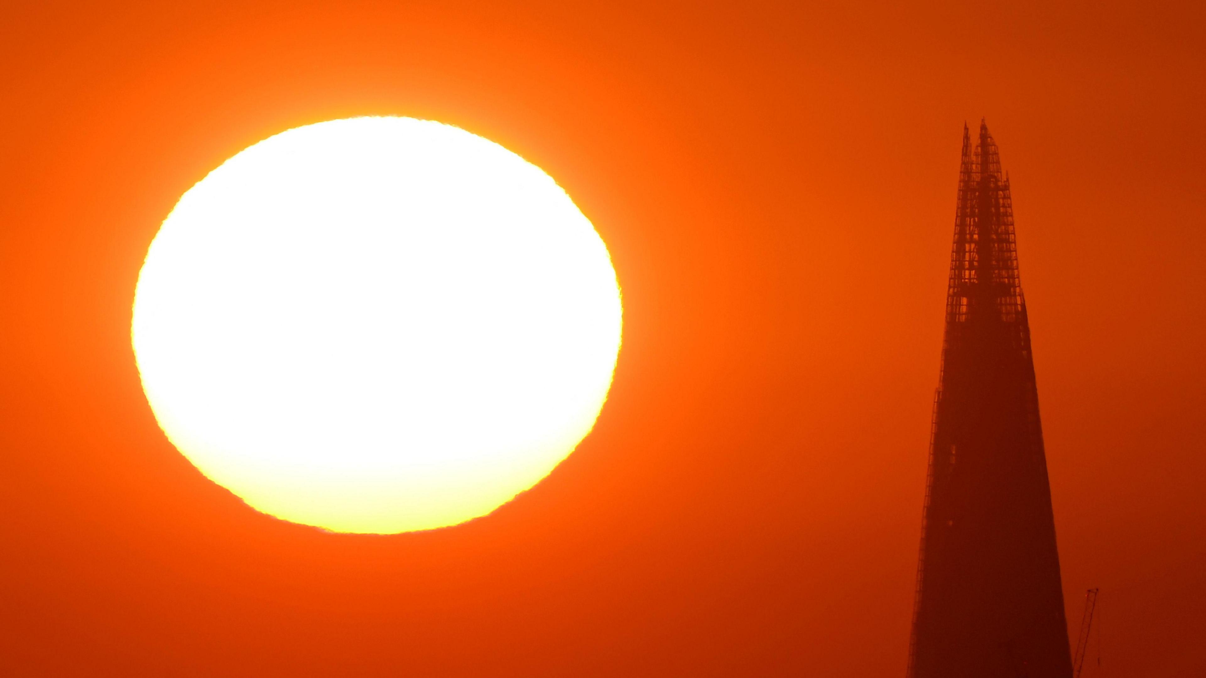
Hot weather may continue in some places on Wednesday meaning that a few spots are likely to reach their heatwave criteria.
This would represent the fourth heatwave of the summer so far.
Scotland and Northern Ireland look set to miss out on the hottest weather, with some rain at times – but could still see highs of 23-25C (73-77F).
What will the rest of August bring?
By the end of next week the winds from the south are due to be replaced by a flow of air from the Atlantic.
This would bring generally lower temperatures, although warmth is likely to hold on across southern and eastern parts of the UK for a time.
Beyond that, the prospects look more mixed with some much-needed rain at times, but long-range forecasts suggest further spells of very warm or hot weather are likely during August, especially in the south and east.
You can always check the latest long-range forecast for the rest of the summer by taking a look at our monthly outlook.
-
- 29 June
-
- 2 days ago
-
- 14 July