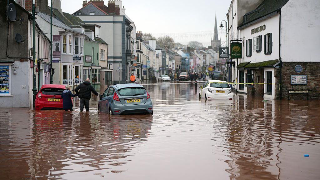
A major incident was declared in Monmouth after heavy rain in mid-November
Simon King Lead Weather Presenter
- 1 December 2025, 08:06 GMT
Updated 2 hours ago
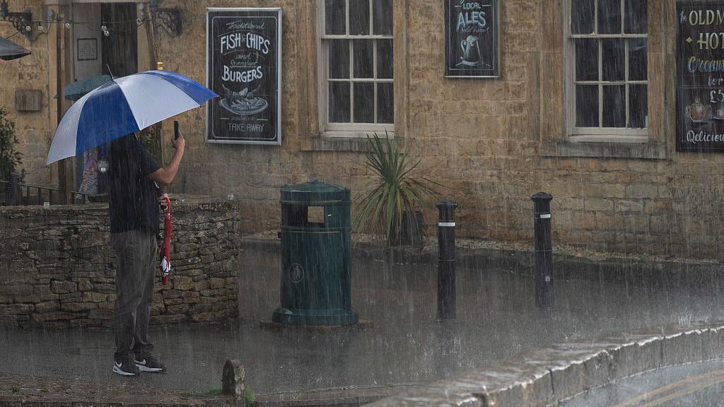
Heavy rain is expected to bring flooding and disruption across large parts of the UK on Monday.
An amber Met Office severe weather warning for rain is in force across south Wales, while multiple yellow warnings are in force for many western areas of the UK.
Nearly a month’s worth of rain could fall onto already very saturated ground after above average rainfall throughout November across England and Wales.
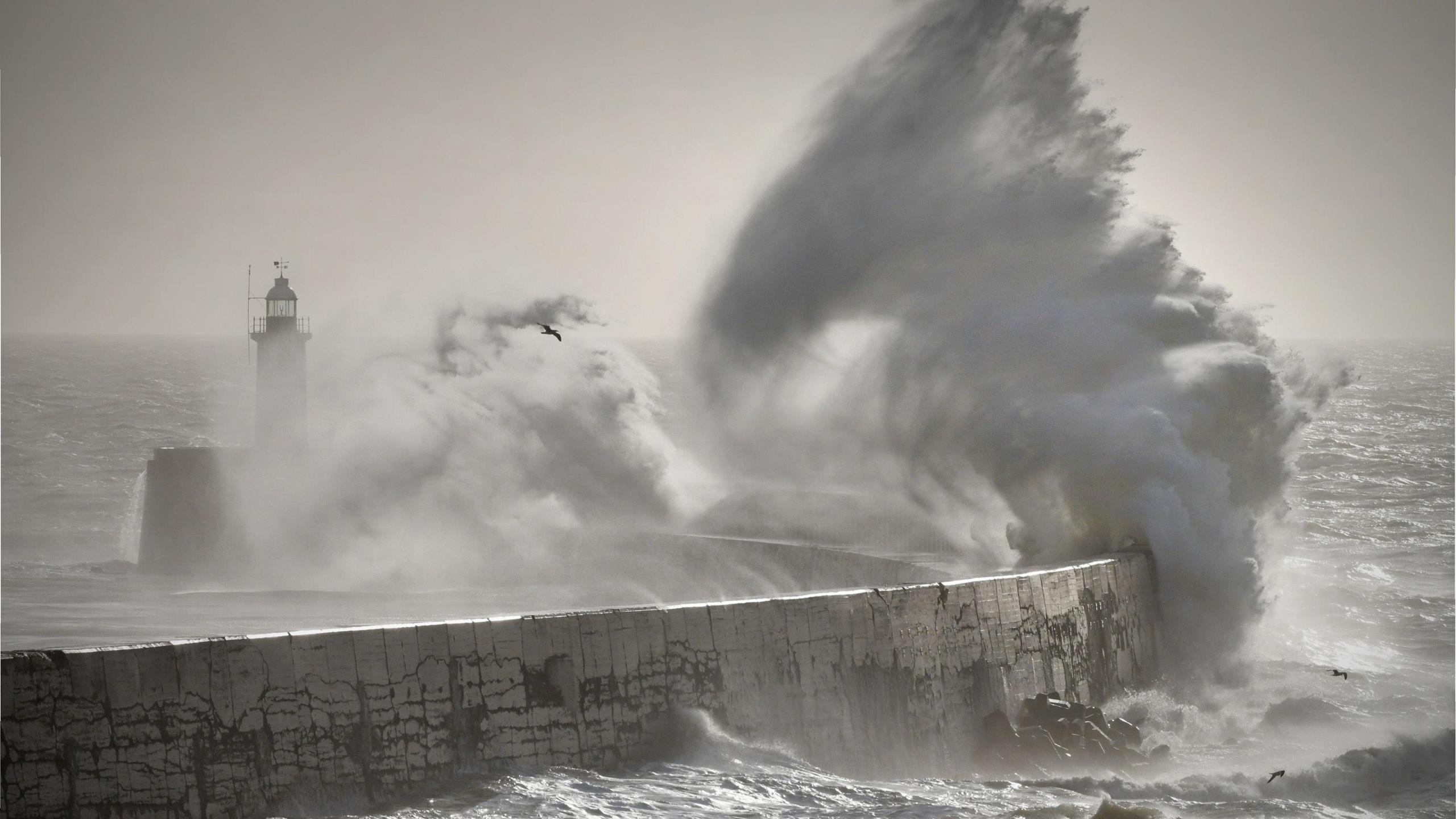
There will also be some gusty winds, especially around coastal areas.
Winter – meteorologically speaking – has started on a very wet note with rain across much of the UK.
That trend is likely to continue for most of Monday and turn particularly heavy at times.
Rainfall totals will build quite widely but with very saturated ground there are numerous yellow Met Office warnings in force.
A more severe amber Met Office warning is in force for south Wales until 21:00 GMT.
Between 20 and 40mm (0.8 and 1.6in) of rain is expected to fall widely here, with some south-western facing hills seeing nearer to 120mm (4.7in).
The average rainfall for south Wales and south-west England for the whole of December is 152mm (6in)
Extensive flooding is possible along with disruption on the road and rail network, loss of power and communities potentially cut off.
The Met Office has also warned that fast flowing or deep floodwater is possible, causing a danger to life.
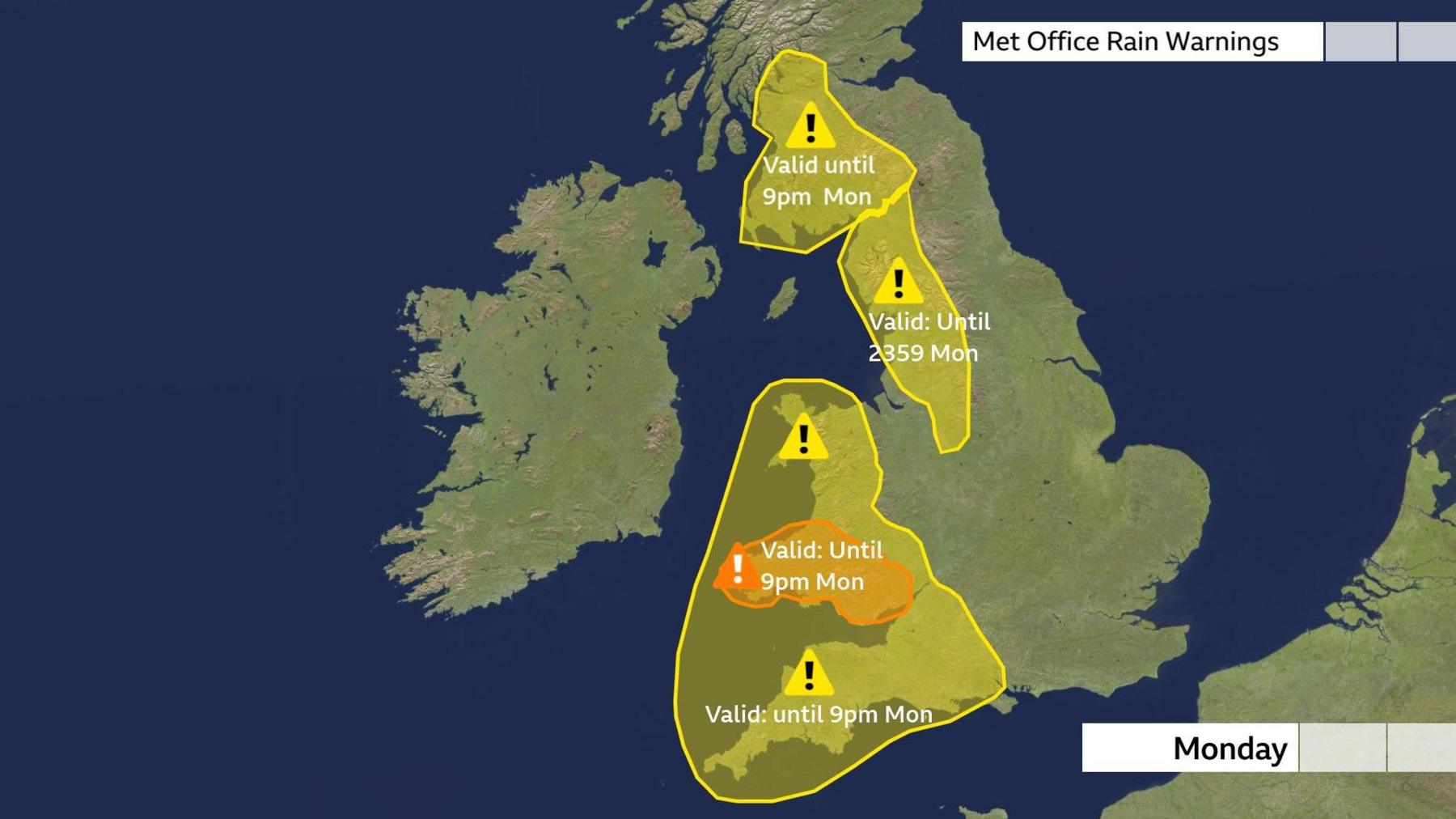
Numerous Met Office weather warnings in force across the UK including a more severe amber warning in South Wales
Heavy rain is likely for much of the UK on Monday.
Additionally, yellow Met Office weather warnings are in force for:
-
South-west Scotland until 21:00 on Monday
-
North-west England and parts of the West Midlands until 23:59 on Monday
-
Most of Wales and south-west England until 21:00 on Monday
Again, between 20 and 40mm of rain is forecast to fall quite widely but some areas, such as the higher ground of the Cumbrian Fells and Eyri, could see between 80 and 120mm (3 and 4.7in).
This too could bring some localised flooding and transport disruption.
Parts of East Yorkshire were flooded on Monday morning with fire crews needing to pump water away from properties.
Flood warnings have been issued by the Environment Agency (EA) and Natural Resources Wales (NRW)
An EA spokesperson has said “We urge people not to drive though flood water – it is often deeper than it looks and just 30cm (1ft) of flowing water is enough to float your car.”
Strong winds will also accompany the heavy rain, with gales possible around coasts and over high ground.
Record wet November
November has been very wet overall, especially across England and Wales.
Data up to 29 November from the Met Office Hadley Centre shows that there has been 132% of normal rainfall.
But, in parts of eastern England, some weather stations have recorded their highest November rainfall on record.
Bridlington, Yorkshire for example has had nearly three times the normal rainfall with 180mm recorded compared to an average of 66mm – a new record for November.
Other parts of East Yorkshire and Lincolnshire have recieved more than double their normal rainfall with the wettest November on record.
Related topics
-
- 2 days ago

-
- 14 November